 Quản lý đặt vé
  Tiếng Việt
 ไทย
ไทย ENGLISH
 KHAMER
 简体中文
简体中文 Русский
 Deutsch
 Français
 日本語
日本語 Português
 Español
 Italiano
Koh Chang
Originally, the entire area of Koh Chang was part of Laem Ngop District, Trat Province. Later, the government divided the administrative boundary to establish Koh Chang Minor District according to a Ministry of Interior announcement on March 31, 1994, which took effect on April 30 of the same year. It was subsequently elevated to Koh Chang District, taking effect on September 8 of that same year.
Historically, Koh Chang was an uninhabited island with no villages or settled communities. Its importance was limited to being a source of food supplies and fresh water—particularly around Salak Phet—as well as a harbor for boats seeking shelter from monsoon winds. Today, Koh Chang is home to approximately nine villages.
In the past, the waters surrounding Koh Chang were also a site of major historical significance. During the Indochina War on January 17, 1941, Royal Thai Navy ships—including HTMS Songkhla, HTMS Chonburi, and HTMS Thonburi—fearlessly engaged in battle against seven French warships. This conflict became known as the Battle of Koh Chang, and Thai people still commonly refer to it as the "Koh Chang Naval Battle" (Yuttanavi Koh Chang). This event is enshrined in Trat Province's official motto: "A province of nearly fifty islands, precious red rubies, sweet Rakam fruit, fine Thai Ridgeback dogs, the Koh Chang Naval Battle, at the easternmost edge of Siam."
Koh Chang is the largest island in the Gulf of Thailand and the second-largest in the country after Phuket, covering an area of approximately 429 square kilometers. It serves as a district within Trat Province and is the largest among a group of over 50 surrounding islands, all collectively designated as Mu Ko Chang National Park.
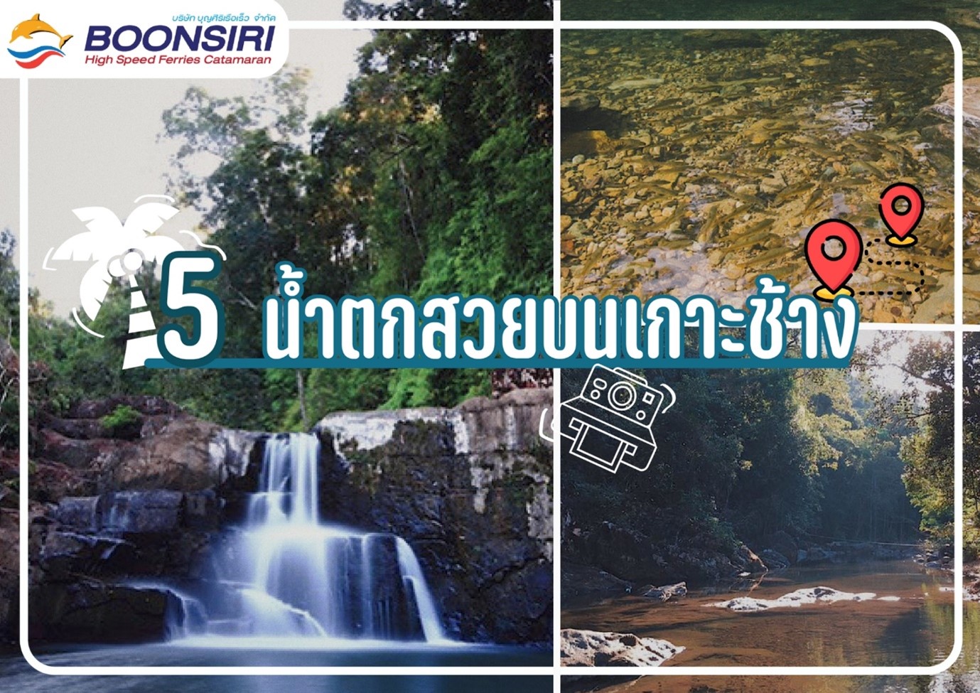
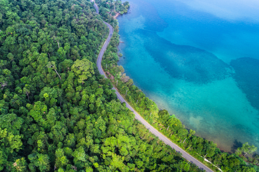
The island's geography is divided into two main types: flat lowland areas and rugged mountains with tropical rainforests. The lowlands run along the edges of the island right before the beaches, filled with fruit orchards, coconut plantations, and rubber farms. The central interior consists of complex mountain ranges and dense rainforest, with the highest peak being Khao Salak Phet at roughly 744 meters above sea level. This peak serves as the primary source of large waterfalls and streams that sustain life on the island.
Today, Koh Chang is one of Eastern Thailand's top travel destinations, attracting huge numbers of visitors every year who come to experience its rich natural resources, as reflected in the continuously growing tourist numbers. Travel on Koh Chang is divided into two main sides, each offering its own beauty:
West Koh Chang
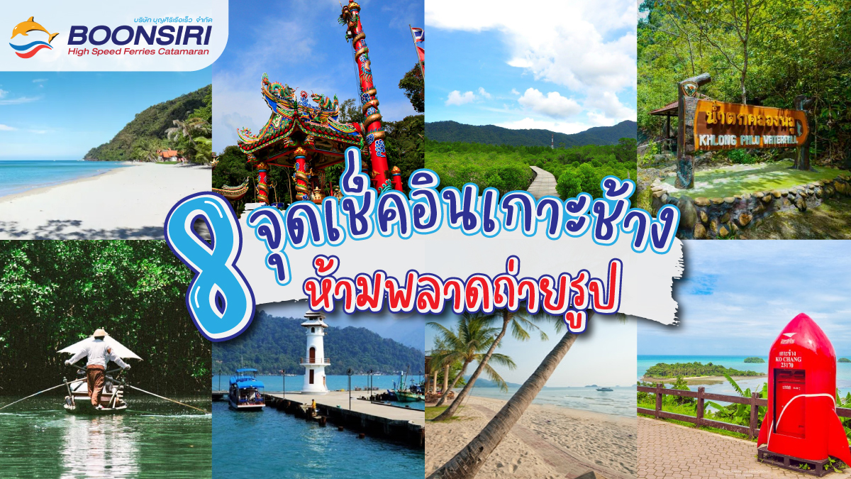
This side is a full-fledged tourism zone, fully equipped with hotels, restaurants, and famous entertainment venues. Every year, it buzzes with tourists from all over the world. It features a continuous stretch of white sandy beaches suitable for swimming from north to south, with the most popular being White Sand Beach (Haad Sai Khao), Klong Prao Beach, and Kai Bae Beach. It also houses the highest and most scenic viewpoint located within Sea View Resort, offers easy access to nearby islets like the sandbar at Koh Man Nok, and features major natural attractions like waterfalls. For those seeking nightlife and souvenir shopping, this is the side to visit.
East Koh Chang
This side caters to travelers looking for a calm, laid-back vibe. It does not have sandy beaches suitable for swimming like the west side, but it offers various waterfalls, traditional fishing village life, and numerous community travel spots. A major highlight is taking a local gondola boat ride around Salak Phet and Salak Khok. This side is ideal for a slow-paced, relaxed lifestyle and is highly recommended for anyone genuinely looking to unwind and recharge.